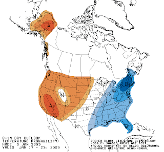
This storm will be coming up the coast from the deep south and laden with moisture. Currently it looks like mostly rain for these parts and a fast mover...starting Monday night and lasting through Tuesday night. BUT, and you know there's always a "but" when it comes to New England weather forecasting, the numerical weather models keep tracking this storm further east with each successive run. So you've heard this a hundred times before and you'll read it here again now, depending upon the track this could be yet another major snow storm for southern New England. Interestingly, the models had the last storm tracking more and more northwest as the forecast period narrowed down and the outcome was snow to rain. What will this storm bring??
I'll update over the weekend.
Sorry about all the weather postings...unfortunately, I've been obsessed with winter storms all my life and since my butt hasn't touched a saddle in 3 weeks...well, you know, gotta write about something!


 Open registration starts at 7:00 AM on this Thursday, 1/15/09 (2008 alumni registration started last week). Here is the registration link:


